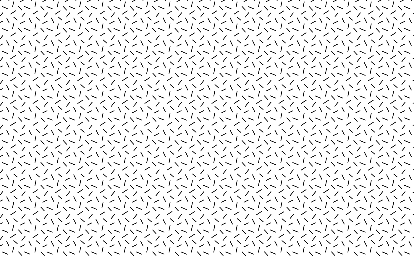
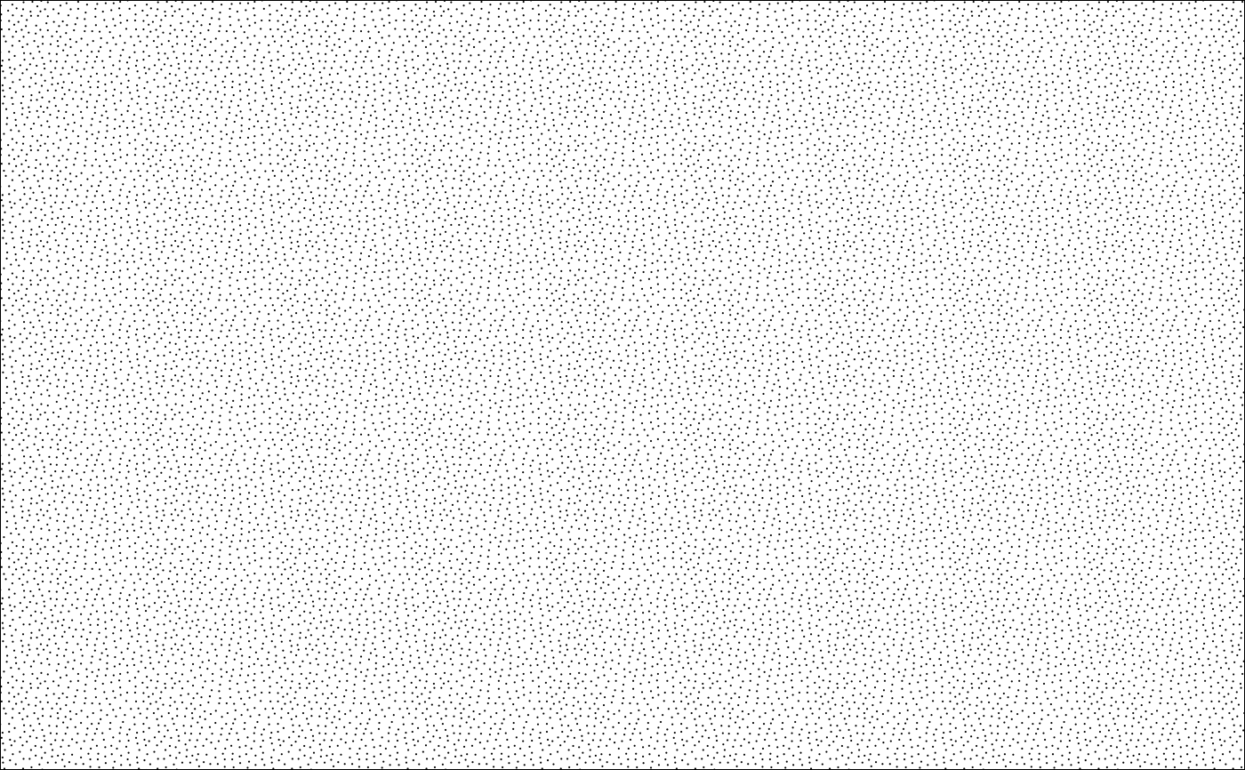
Retrieve a single geologic pattern as defined in the FGDC Digital Cartographic Standard for Geologic Map Symbolization by the U.S. Geological Survey and the Geologic Data Subcommittee (GDS) of the Federal Geographic Data Committee (FGDC).
Usage
geo_pattern(
  code,
  scale = 2,
  col = NULL,
  fill = NULL,
  alpha = NULL,
  bg = "white"
)

geo_grob(code, col = NULL, fill = NULL, alpha = NULL, bg = "white")
Arguments
- code
The number corresponding to the pattern to return. Strings and numbers are permitted.
- scale
The visual scale of the pattern (higher values mean the pattern is more zoomed in).
- col
The color to use for the lines of the pattern.
- fill
The color used to fill various closed shapes (e.g., circles) in the pattern.
- alpha
The transparency to use for the fill of the pattern.
- bg
The background color to use for the pattern.
Value
geo_grob() returns a grob object with a single
instance of the desired pattern. geo_pattern() returns a
GridPattern object with a repeated instance of the
desired pattern.
Details
For specific codes, see the "pattern numbers" in the full pattern chart
for valid code values. Daven Quinn has also assembled more accessible
documentation of the map patterns/codes
and lithology patterns/codes.
The set of patterns with names is also included in the built-in dataset
fgdc_names (and a label dictionary is available using fgdc_dict().
rmacrostrat::def_lithologies() can also be used to look up pattern codes
for various lithologies (see the "fill" column). Note that codes associated
with color variants (e.g., "101-M") are supported but will result in the
default color variant instead (usually black and white, e.g., "101-K").
These patterns were originally processed and optimized by Daven Quinn and are hosted on GitHub.
See also
FGDC patterns:
fgdc_dict(),
fgdc_names,
grid.pattern_geo(),
scale_fill_geopattern()
Examples
library(grid)
# Get a generic igneous pattern
pattern1 <- geo_pattern(code = "313-K")
# Get the pattern for a sandstone
pattern2 <- geo_pattern(code = "607")

# plot the two patterns
grid.newpage()
grid.draw(rectGrob(gp = gpar(fill = pattern1)))

grid.newpage()
grid.draw(rectGrob(gp = gpar(fill = pattern2)))

